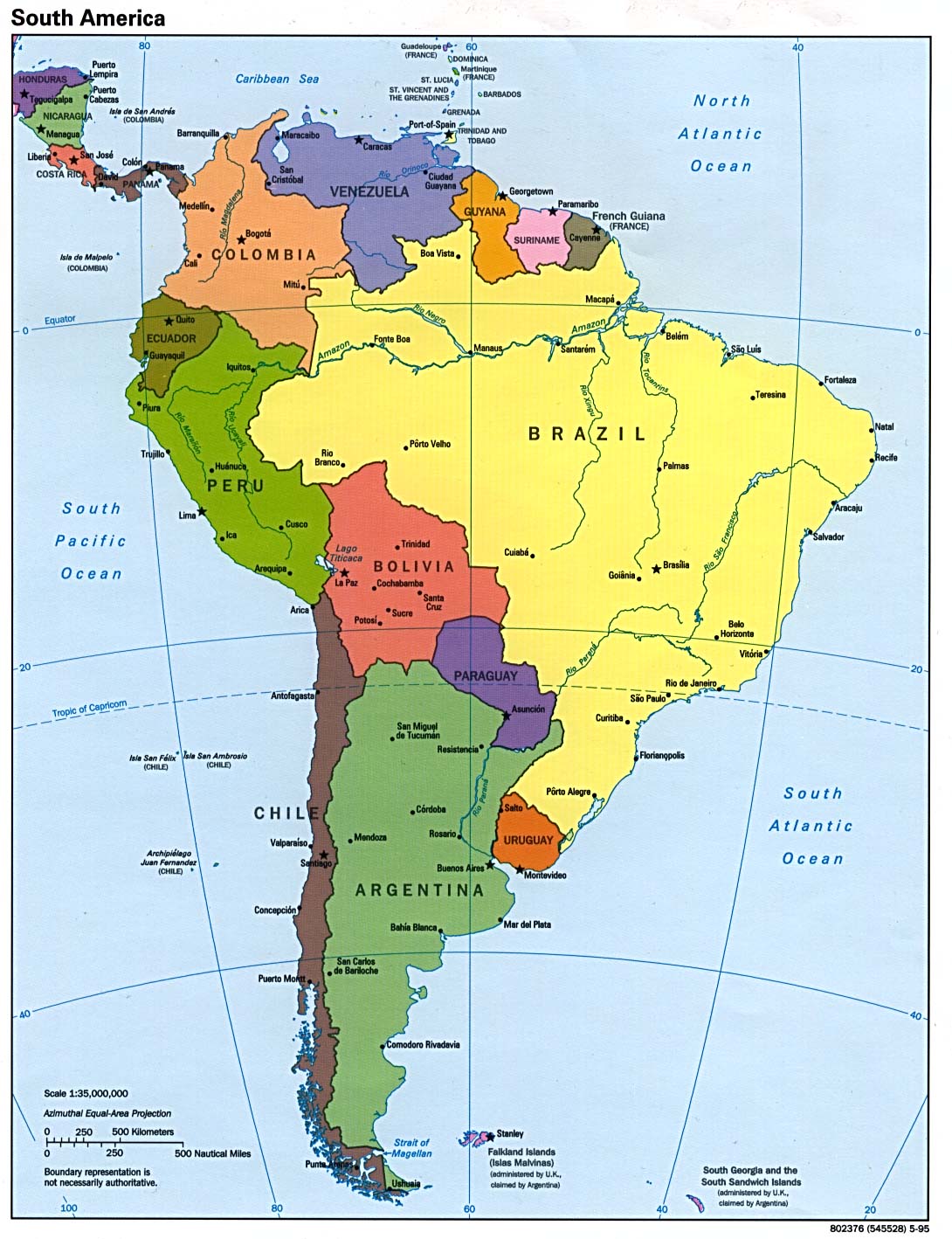
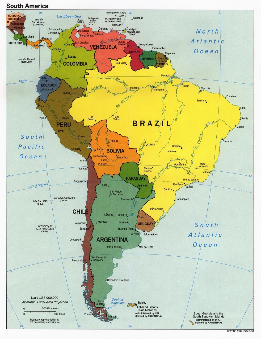
This section presents a curated collection of historical maps of Latin America (Argentina, Brazil, Chile, Colombia, and Mexico), illustrating the evolution of its territories, borders, and administrative structures from pre‑colonial societies through the colonial period and into the formation of modern states. The selection highlights how exploration routes, imperial frameworks, independence movements, regional dynamics, and long‑term historical developments shaped the geographic and political landscapes of Latin America over time. Intended for educational use, these maps provide clear and accessible visual resources suitable for classroom teaching, school projects, and introductory historical study.
edmaps.com — Historical Cartography for Education
edmaps.com provides original maps and curated historical maps designed to support teaching, learning, and public understanding of history and historical geography. The original maps are created by Dr. Cristian Ionita, and all curated maps are selected from public archives, historical collections, and private holdings, and are presented for educational and non‑commercial use.
© Cristian Ionita. All rights reserved.
Website: https://edmaps.com — Contact: info@edmaps.com